Description
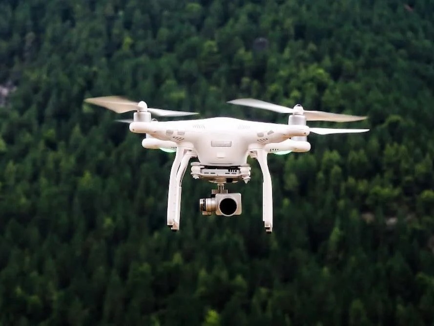
The Drone Video Stitching & Aerial View Editor is a specialized solution that enables real estate professionals to produce polished, cinematic aerial footage from raw drone captures. Designed for both beginners and advanced editors, the platform supports input from multiple drones or cameras, automatically stitching overlapping frames into fluid panoramic videos. Whether you’re capturing a residential estate, a commercial development, or a sprawling land parcel, this tool allows for seamless editing of flyover paths, zoom effects, transitions, and overlays. The editor includes stabilization tools, music syncing, voice narration options, dynamic annotations (such as property lines or points of interest), and branded intro/outro templates. Users can generate stunning bird’s-eye promotional videos ideal for websites, social media, or presentations to stakeholders and investors. It’s especially valuable for showcasing property size, accessibility, landscaping, surrounding amenities, and neighborhood dynamics—information not easily captured from ground level. The tool also integrates with mapping APIs for geographical overlays and route visualizations. With cloud-based rendering, collaboration options, and batch exporting, our aerial video solution streamlines post-production and ensures every listing captures attention from the very first frame.
Wasiu –
“Absolutely fantastic service! The aerial footage of our properties is now stunning and professional, truly showcasing their best features. Editing was seamless, and the final product exceeded our expectations. Highly recommend for anyone looking to elevate their real estate marketing.”
Mabel –
“The aerial videos and panoramas they created for my property listings are stunning! They really helped showcase the unique features and location in a way traditional photos just couldn’t. Communication was excellent, turnaround was quick, and the final product exceeded my expectations. I highly recommend their services for anyone looking to elevate their real estate marketing.”
Titilayo –
“Absolutely thrilled with the results! The aerial footage was beautifully stitched and edited, providing stunning visuals that truly highlighted the property’s best features. It was easy to collaborate and the turnaround time was incredibly fast. A fantastic service that I highly recommend for anyone looking to showcase real estate in a unique and compelling way.”
Adejoke –
“I was incredibly impressed with the quality of the final product. The aerial footage was seamlessly stitched together, creating a stunning and engaging visual representation of the property. The editing was professional and highlighted all the key features, making it a valuable asset for my marketing efforts. I highly recommend their services!”
Falmata –
“The aerial footage was absolutely stunning! They seamlessly stitched together the drone videos, creating a smooth and professional presentation of the property. The editing was fantastic, highlighting all the key features and providing a unique perspective that really wowed potential buyers. Highly recommend their services!”
Maimuna –
“Absolutely thrilled with the results! The aerial footage was transformed into a stunning, cohesive video that perfectly showcased the property. The editing was seamless and professional, highlighting all the key features and creating a truly engaging visual experience for potential buyers. Highly recommend!”